Scientists now have a new tool to track Antarctica’s changing biodiversity.
Still a fragile ecosystem, global warming is seeing vegetation rapidly expanding on the Antarctic Peninsula. Though famous as a perennially frozen landmass, much of the Antarctic Peninsula remains ice-free year-round.
This means parts of Antarctica are “greening” and the trend may be accelerating.
In a report published last year, scientists revealed that the area of green cover during the warmer months on the Antarctic peninsula has grown from less than 1 square kilometer (about 0.4 square miles) to nearly 12 square kilometers (4.6 square miles) over the past 35 years.
Now, scientists from Australia say they’ve devised a way for researchers to better monitor these changes.
“We present Antarctica’s first comprehensive ecosystem classification and map of ice-free lands, which host most of the continent’s biodiversity,” the team announced. The new “high-resolution map and hierarchical classification system” were revealed recently in the journal Scientific Data.
“Comprehensive geospatial data sets for a range of environmental variables have become available and spatially explicit records of biota have been compiled and validated within a single archive,” they added.
The database was put together by scientists from The University of New South Wales, Monash University, James Cook University, University of Wollongong, Queensland University of Technology, and The University of Adelaide.
The researchers say organizing and releasing data on Antarctica’s ice-free biodiversity is long overdue.
“Many people are surprised to learn that Antarctica has any permanently ice-free lands at all. And yet, these tiny habitat patches contain the vast majority of the continent’s biodiversity,” said lead author Dr Anikó B. Tóth in a summary. “It’s the opposite problem that many conventional ecosystems face today. Instead of fragmentation and loss of area, ice-free patches will become larger and more interconnected.”
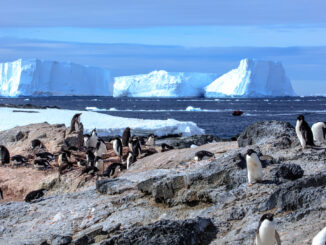
Aside from penguins and coastal marine life, ice-free Antarctica is home to a variety of hardly mosses and lichens largely responsible for the greening effect. Flowering plants have also evolved to survive there. These areas are also home to microbial life like nematodes and uber-resilient tardigrades.
And of course, seabirds regularly flock to this region.
There’s worry that invasive life from South America may find a foothold on the Antarctic Peninsula as the greening trend continues and accelerates. Thus, the need for a tool that can help scientists monitor changes and stay ahead of emerging threats to the southernmost continent’s biodiversity.
The team said recent advances in geospatial technologies made the creation of this map possible.
“With climate change accelerating and human activity increasing, this framework is essential to prepare us for the consequences of accelerating Antarctic greening,” Tóth said.
Park Info
Location:
Antarctic Peninsula
More Information: